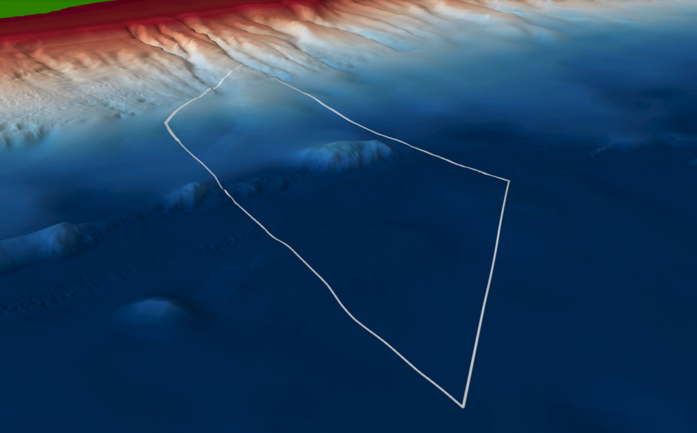
Overview Map:
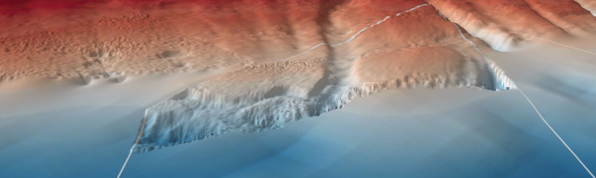
Nelson Marine Park contains complex undersea topography, including lower-slope and abyssal ecosystems. It covers representative areas of the West Tasmania Transition bioregion.
Knowledge status
Nelson Marine Park has a low level of knowledge.
- No targeted fine-scale seafloor mapping or biological surveys have occurred.
- There have been 256 sediment samples collected from 1 survey.
- Publications, reports and data sets include 3 South east network that reference Nelson Marine Park.
- Depth: 2557m – 5612m.
- 63% of seafloor mapped, most at a medium resolution to support biodiversity surveys.
Key activities
- Commercial fishing
- Shipping
Key Pressures
- Resource extraction
- Climate change
Seafloor mapping and survey deployments
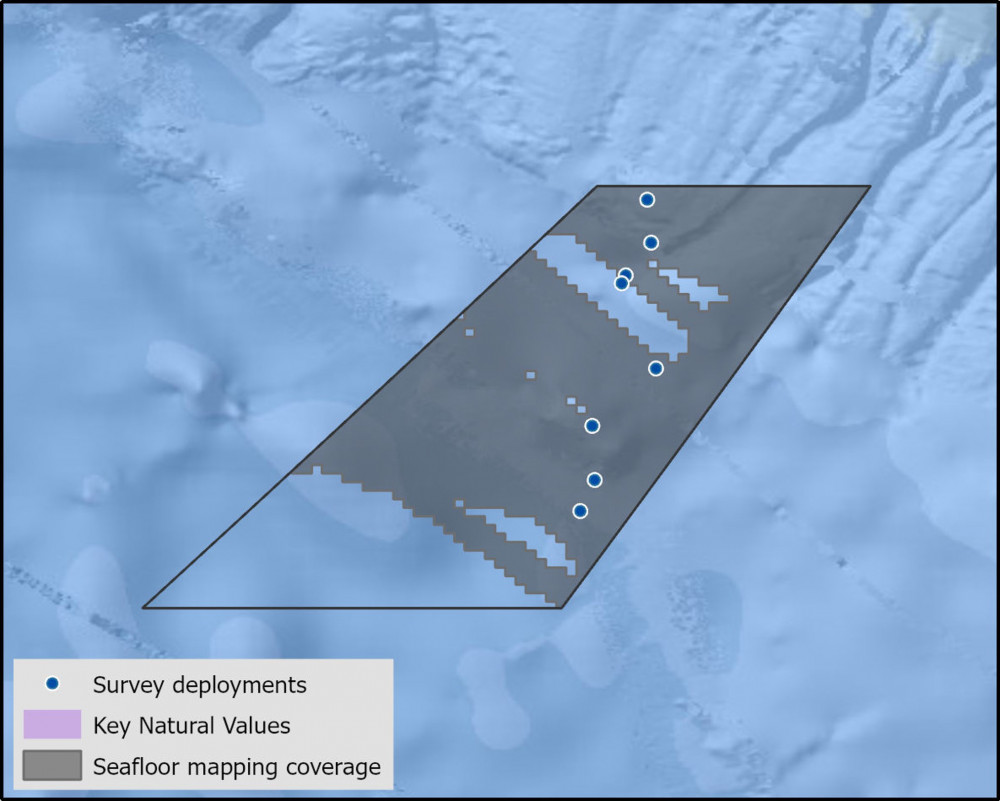
Key Natural Values (KNV) = Habitat or species that are particularly important to management.
State of Knowledge published Mar 2023 | References:
Printable version: AMP - SE SOK Placemat templates (parksaustralia.gov.au)