This website is being decommissioned.
Its content will be redistributed to the most relevant sites,
including Seamap Australia,
the Parks Australia website,
and the eAtlas.

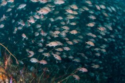
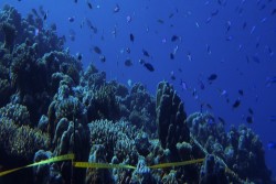
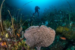
Australian Marine Parks protect a huge range of spectacular marine life and features like coral reefs, and underwater canyons and mountains. They are big, deep and often beyond sight of the coastline.
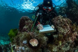
There is much we know about these special places and much that we don't. The Australian Marine Parks Science Atlas provides those interested in marine science with a snapshot of: