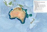
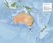
Key maps
The maps below plot datasets that were integral in planning and development of Australian marine parks. Learn about these important marine features and where they are located in each Australian Marine Park.
Published on 1 May 2018
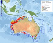
Find out where activities to search for and extract petroleum offshore are planned, underway or cancelled.
Published on 21 December 2017
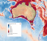
Check out the typical water temperature in Australian Marine Parks.
Published on 21 December 2017
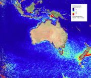
See where Australian's oceans are (and aren't) rich in phytoplankton.
Published on 4 October 2017
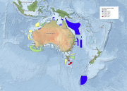
See which areas of Australia's marine environments have been World Heritage listed.
Published on 21 September 2017
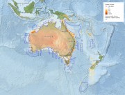
Compare how deep the waters are within and between the Australian Marine Parks.
Published on 21 September 2017
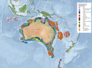
Explore the banks, pinnacles, troughs and other features of the seafloor in Australian Marine Parks.
Published on 21 September 2017
See where species richness is at its highest and lowest across Australian Marine Parks.