Macquarie Island Marine Park features both sanctuary and habitat protection zones offering the highest levels of protection to this unique sub-polar park. It covers representative areas of the Macquarie Island Province bioregion.
Knowledge status
Macquarie Island Marine Park has a low knowledge level.
- High resolution mapping of Macquarie ridge and a significant number of studies have been conducted on the marine mammal and bird populations inhabiting the area.
- There have been 48 sediment samples collected from 4 surveys.
- There are 63 publications, reports and data sets that reference the South east network and relate to Macquarie Island Marine Park as well as 9 publications that are specific to Macquarie Island Marine Park.
- Depth: 86m – 6000m.
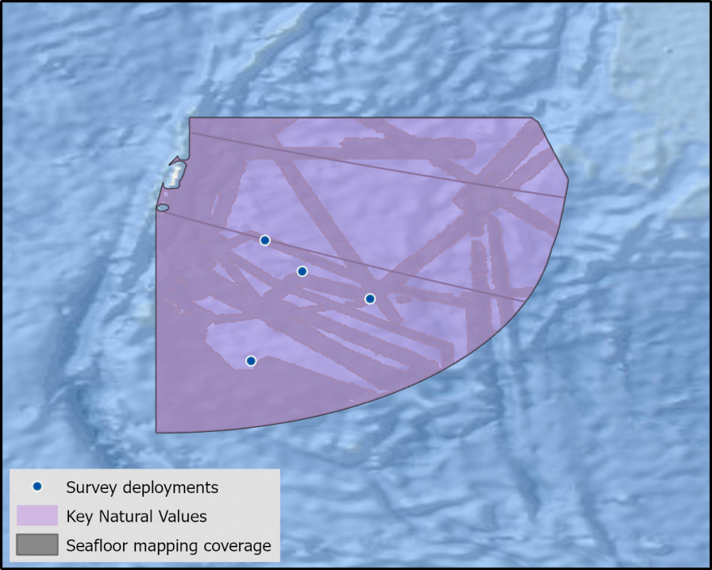
- 49.7% of seafloor mapped, most at medium resolution to support biodiversity surveys.
Key values, habitats and communities
Macquarie Island Marine Park features both sanctuary and habitat protection zones offering the highest levels of protection to this unique sub-polar park. It covers representative areas of the Macquarie Island Province bioregion.
Feature of interest
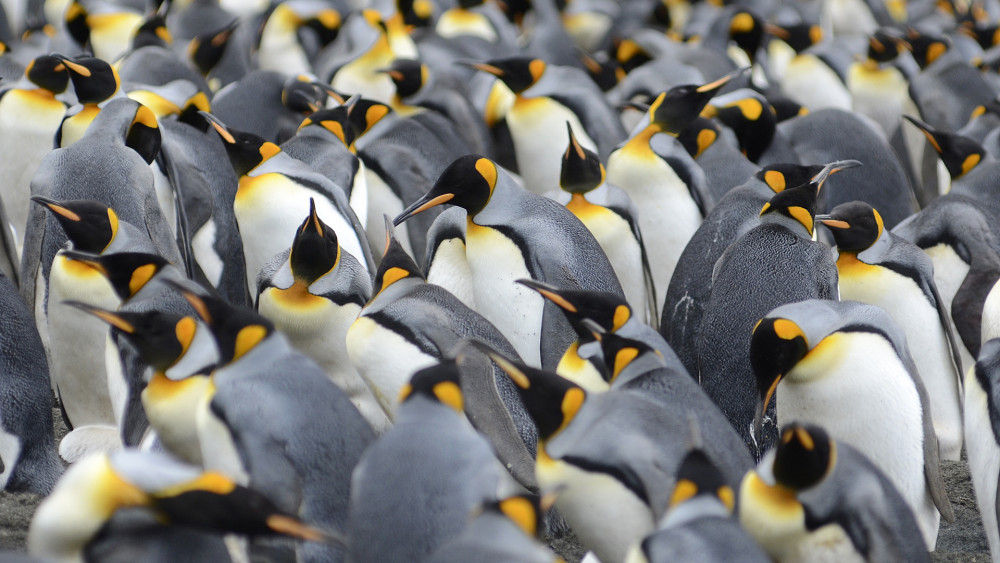
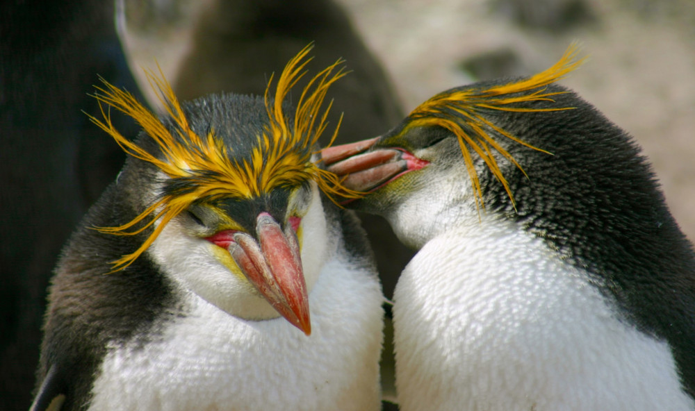
The Macquarie Island Marine Park encompasses important foraging habitat for Royal Penguins (Eudyptes schlegeli) the only endemic penguin species on Macquarie Island2.
Key gaps
- Information on high priority shelf, upper slope, reefs, canyons, and sediments identified from fine scale resolution multibeam mapping is required.
- Further research to identify species of conservation interest and their spatial distributions and key habitats.
Key activities
- Commercial fishing
Key Pressures
- Resource extraction
- Climate change
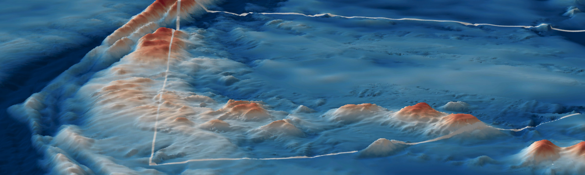
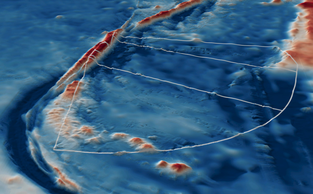
Seafloor mapping and survey deployments
Further information
State of Knowledge published Mar 2023 | References:
- Wienecke, B. & Robertson, G. (2002) Foraging Areas of King Penguins from Macquarie Island in Relation to a Marine Protected Area. Environmental Management Vol. 29, No. 5, pp. 662–672. https://link.springer.com/article/10.1007/s00267-0015-1
- Hull, C.L., Hindell, M.A., Michael, K. (1997). Foraging zones of royal penguins during the breeding season, and their association with oceanographic features. Mar Ecol Prog Ser. Vol. 153: 217-228,1997. https://www.int-res.com/articles/meps/153/m153p217.pdf
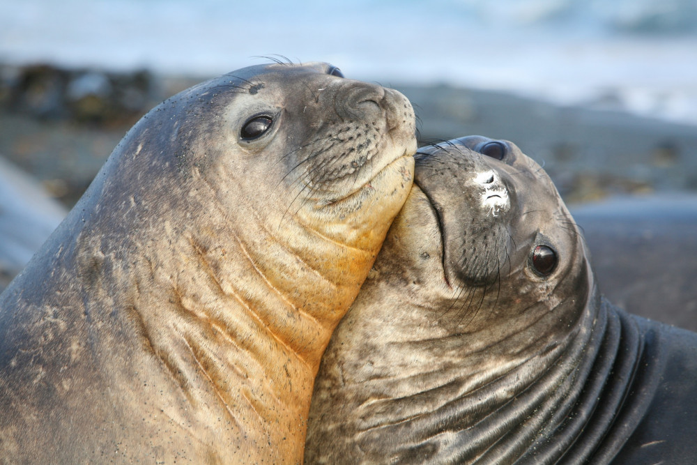
- Clausius, E., McMahon, C.R., Harcourt, R., Hindell, M.A. (2017). Effect of climate variability on weaning mass in a declining population of southern elephant seals Mirounga leonina. Mar Ecol Prog Ser: Vol. 568: 249–260, 2017 https://www.int-res.com/articles/suppl/m568p249_supp.pdf
Key Natural Values (KNV) = Habitat or species that are particularly important to management.
Printable content: AMP - SE SOK Placemat templates (parksaustralia.gov.au)