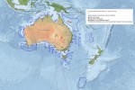
Australian Marine Parks were designed and planned over a period of nearly two decades. The design and planning process drew strongly on the best available science. Science played a key role in looking at the known and likely diversity of marine life in Commonwealth waters and how to capture a representative sample of it within our marine parks.
Australia has a vast marine jurisdiction — the third largest in the world — with an exclusive economic zone (EEZ) covering 8.9 million square kilometres. Commonwealth waters extend from approximately three to 200 nautical miles off the Australian coastline, covering an area larger than the Australian continent itself. Detailed scientific information about biodiversity and habitat was lacking for much of these offshore and deep sea environments.
Where information gaps existed, environmental attributes such as water depth and seafloor features provided ‘surrogates’ (proxies) for the distribution of biodiversity. Social and economic data was also used to help provide opportunities for sustainable human use and enjoyment of the marine parks.
Understanding our marine environment
The best available science used to plan marine parks in Commonwealth waters was a combination of:
- detailed surveys of species and habitat at different depths (available for a very limited area of these waters)
- information used to provide surrogate information including;
- bathymetry (studying and mapping the sea floor)
- geomorphology (studying landforms and their processes)
- oceanographic variables like sea surface temperature and chlorophyll-a
- bathomes (large spatial regions characterised by the depth-related distribution of plants and animals)
- RAMSAR (internationally significant) wetlands
- world heritage areas
- outputs of models that predicted the likely distribution and ecological importance of natural values such as:
- species community and distribution maps
- key ecological features
- provincial and mesoscale bioregions
- biologically important areas.
The data was used by scientists to classify large areas of ocean with broadly similar characteristics as ecological regions or ‘bioregions’. This information was combined and analysed to provide the Integrated Marine and Coastal Regionalisation of Australia (IMCRA).
The first version of IMCRA was released in 1998, and has been updated as new information became available to provide the latest version, IMCRA 4.0, released in 2006. It allowed marine park planners to consider how to best include a representative sample of the marine environment within our Australian Marine Parks.
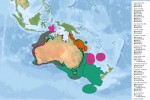
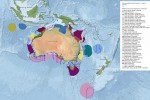
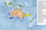
Research to understand the key threats facing different species and habitats and identify the various human uses of our marine region was also compiled as part of the marine park planning process. A consolidated picture of this information, alongside biodiversity distribution, is presented in marine bioregional plans for different marine regions around Australia.
These plans were developed in consultation with stakeholders and with further input from scientists and other experts. To provide some focus on areas of particular ecological importance in such a large marine area, biologically important areas and key ecological features were identified.
Designing Australian marine parks
All this knowledge contributed to the design of a comprehensive, adequate and representative marine park system in accordance with the Goals and principles for the establishment of the National Representative System of Marine Protected Areas in Commonwealth waters.
This extensive process, underpinned by robust science, has contributed to the establishment of marine parks that position Australia as a world leader in marine protection.
In 2015, an independent expert scientific panel confirmed that the science underpinning the establishment of Australian Marine Parks is sound and that network design draws on the best available scientific information.


