
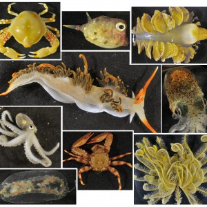
These are examples of different organisms that were sampled during a Western Australian Marine Science Institution (WAMSI) trip to Lynher Bank, approximately 120 nauticle miles north of Broome. This area is an important foraging ground for the Flatback turtles, and the trip focused on collecting samples from the seaflooor and water column to determine what food is available to these protected species. Clockwise from the top left is a crab, fish, seapen, cuttlefish, feather star, crab, jellyfish, octopus and nudibranch. The chemical composition of these samples, and many others, will be tested and compared to that found in flatback turtle tissue to determine if the turtles are eating these organisms.
 by CSIRO
Monitoring sites were surveyed along permanent transect lines, photographed at 1 metre intervals
by AIMS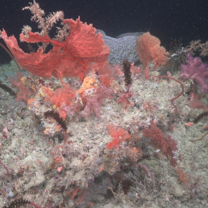
Diverse benthic communities were observed in the mesophotic zone at Ashmore Reef, including a mix of colourful sponges, gorgonians and soft corals
by Schmidt Ocean Institute / AIMS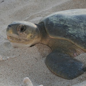
The great spotted cowrie – discovered for the first time in Western Australia during the Ashmore Reef Mesophotic voyage
by Schmidt Ocean Institute / AIMS
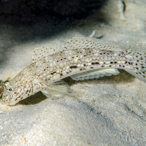
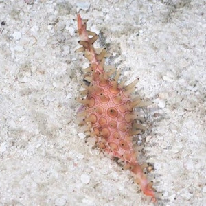
Istigobius decoratus, known as the Decorated Sandgoby is found on sand patches near reefs.
by Ian Shaw
Halimeda beds in the shallow mesophotic at Ashmore Reef. These habitats are home to a diverse array of marine species and contribute greatly to the diversity of the reef.
by Schmidt Ocean Institute / AIMS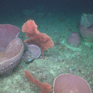
Sponge communities in the mesophotic zone at Ashmore Reef Marine Park
by Schmidt Ocean Institute / AIMS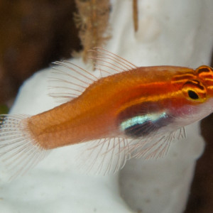
A wide diversity of tiny cryptic fishes are associated with lagoon bommies in the Coral Sea and at Ashmore Reef (NW Network), including the Neon Eviota (Eviota atriventris).
by Rick Stuart-Smith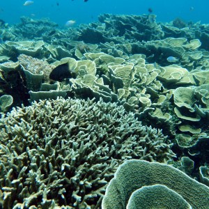
The northern sites at Ashmore had some of the highest coral cover in 2016 and were dominated by tabulate, branching and foliose corals.
by AIMS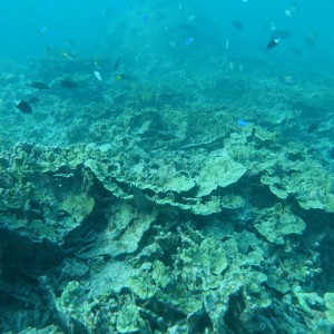
Communities at the northern sites at Ashmore Reef were worst affected by bleaching in 2016/17. Recently dead foliose corals were observed at this northern site in 2017.
by AIMS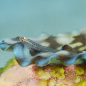
Pleurosicya mossambica also known as the toothy goby or the Mozambique ghost goby is found on many substrates, including corals, sponges, giant clams and seaweeds, and can vary colour according to the substrate.
by Ian Shaw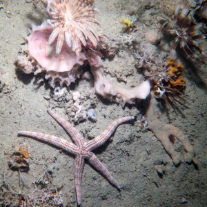

The short-nosed sea snake, thought to be extinct in the Ashmore Reef region, was re-discovered during the voyage
by Schmidt Ocean Institute / AIMS
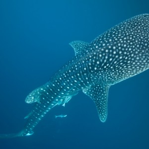
This whale shark was photographed in the Ningaloo Marine Park off Western Australia. Whale sharks are the worlds biggest fish. The name whale shark arose because they are as big as a whale (recorded up to 18 metres) and also filter feed much like many whales. However, whale sharks breath via gills, and have cartilage instead of bone, which makes them a true shark. The Ningaloo Marine Park is a well known for the whale sharks that visit the region from the months of March to July each year. There is still a lot to learn about whalesharks and where they go when they are not at Ningaloo.
by Wayne Osborne