Zeehan Marine Park displays low-profile platform reef across much of the shelf area. The eastern edge of the park is smooth and undulating before changing in the mid shelf to a more corrugated pavement characterised by 3-5m high ledges with flat faces. The park covers representative areas of four bioregions.
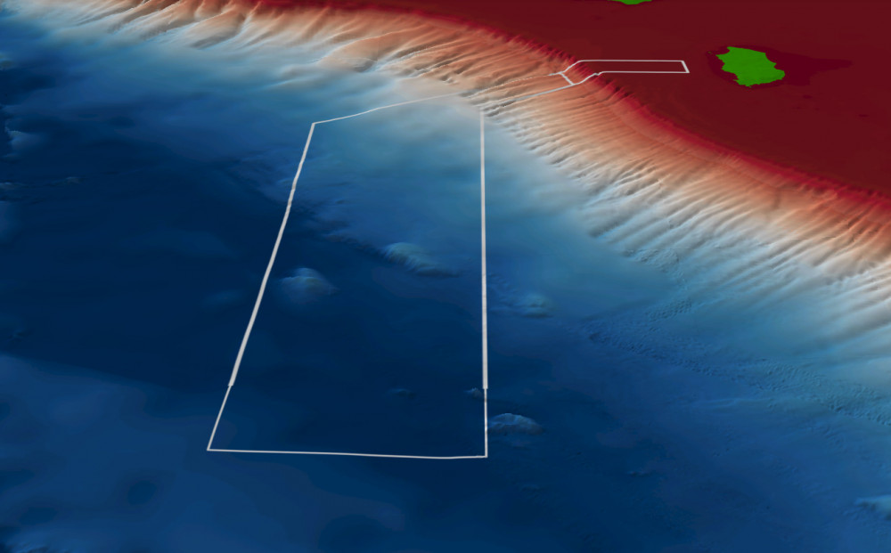
Zeehan Marine Park has a medium level of knowledge.
- The shelf reefs areas have been the focus of research efforts owing to their unique structure and potential as valuable high biodiversity habitats.
- There have been 168 sediment samples collected from 3 surveys.
- There are 9 publications, reports and data sets that reference the South east network and relate to Zeehan Marine Park as well as 1 publication specific to Zeehan Marine Park.
- Depth: 91m – 5174m
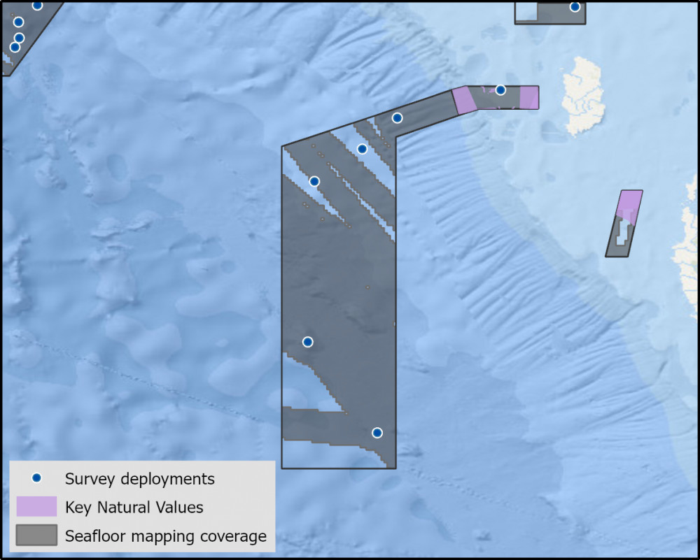
- 75.5% of seafloor mapped, most at medium resolution to support biodiversity surveys.
Key values, habitats and communities
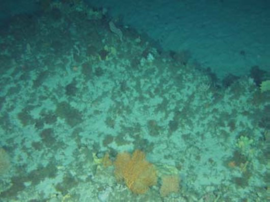
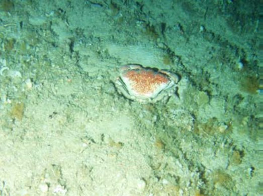
Rocky limestone reefs of varying size which support large sponges, sea whips and large soft and hard bryozoans whilst Coarse sediments provide valuable foraging grounds for crustaceans such as giant crabs2.
Feature of interest
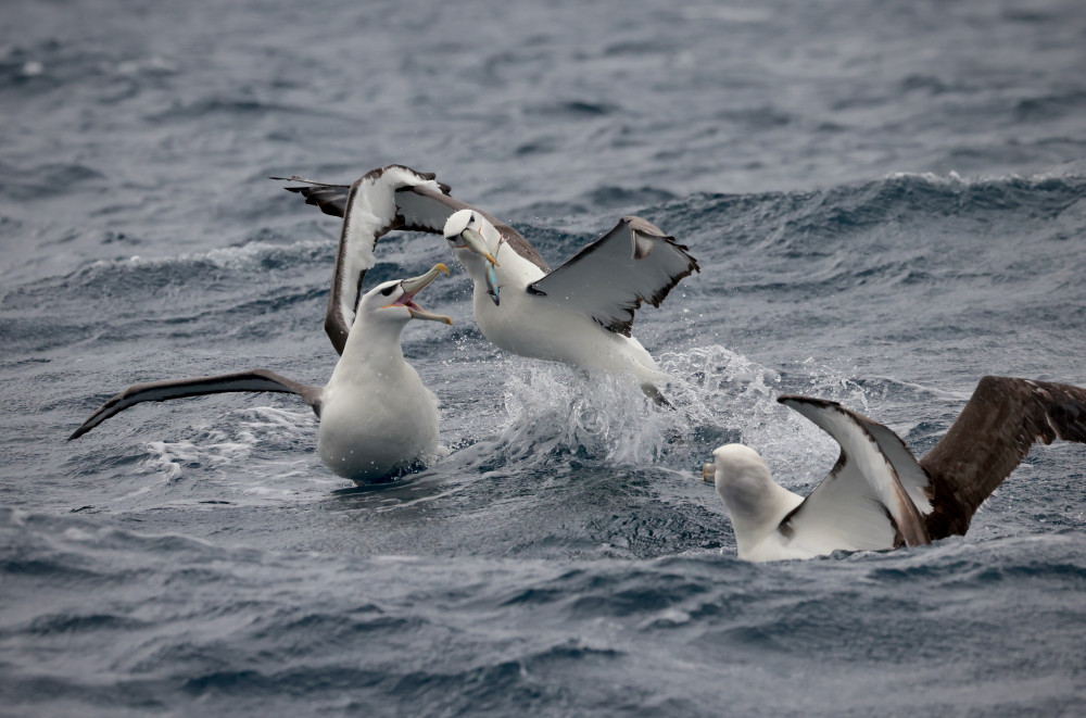
Shy Albatross (Thalassarche cauta) is Australia’s only endemic albatross, with Zeehan a core foraging area for early incubating albatross from Albatross Island3.
Key gaps
- Fine scale mapping of inner shelf areas
- benthic communities and demersal fish communities on deep (mesophotic and rariphotic) shelf reefs
- soft sediment communities and potential contamination levels
Key activities
- Commercial fishing
Key Pressures
- Resource extraction
- Climate change
- Underwater noise
Seafloor mapping and survey deployments
Further information
State of Knowledge published Mar 2023 | References:
- Monk J, Williams J, Barrett N, Jordan A, Lucieer V, Althaus F, Nichol S (2017). Biological and habitat feature descriptions for the continental shelves of Australia’s temperate-water marine parks- including collation of existing mapping in all AMPs. Report to the National Environmental Science Programme, Marine Biodiversity Hub. Institute of Marine and Antarctic Studies, University of Tasmania.
- Williams A, Althaus F, Barker B, Kloser R, Keith G (2007) Using data from the proposed Zeehan MPA to provide an inventory of benthic habitats and biodiversity, and evaluate prospective indicators for monitoring and performance assessment: research and monitoring for benthic ecosystems in marine protected areas of the South-east Marine Region (SEMR). Final Report to the Department of the Environment and Water Resources
Key Natural Values (KNV) = Habitat or species that are particularly important to management.
Printable version: AMP - SE SOK Placemat templates (parksaustralia.gov.au)

