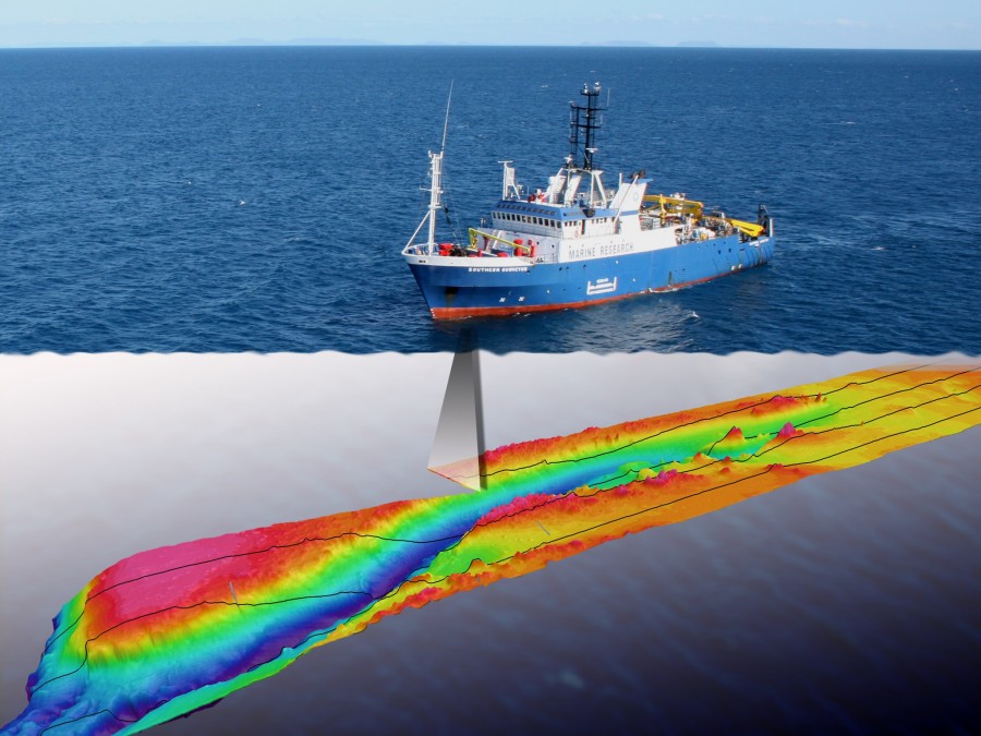
Multibeam surveying

Description
Multibeam surveys are a form of acoustic survey that use sound to map the depth and topography of the seafloor. The multibeam echosounder instrument is attached to the ship, and sends out soundwaves in a swath at regular intervals. This soundwave travels through the water, and upon hitting the seafloor it is reflected back to the boat and the echosounder. The return signal has different properties than when it was originally sent out, and these properties (called the backscatter) can be used to build a picture of the seafloor, and to determine how hard the seafloor is, if it is made of sediments or rock, and it is sometimes possible to identify coral or seaweed. The time between sending and receiving the soundwave can be used to calculate the depth (bathymetry) of the seafloor, and generate bathymetric (topographic) maps.
